How Does Exxon’s Industrial Wastewater and Stormwater Get to the Mud Flats, Estuaries, and Bays?

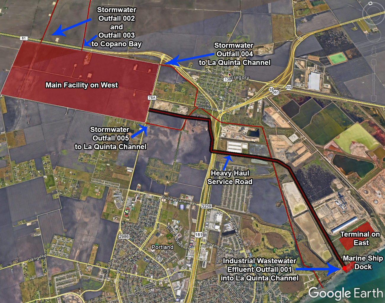
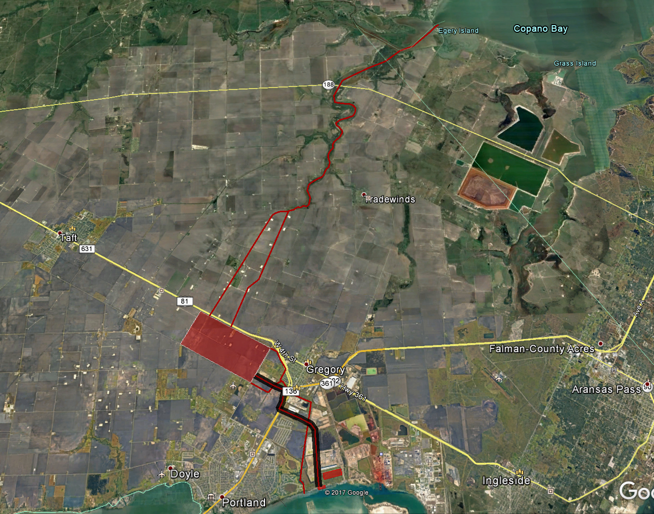
These photos reveal a close-up and wide view of the path of the waters to Copano Bay and the La Quinta Channel, highlighted as red lines. The storm waters will traverse through open ditches while the industrial effluent will be piped underground under or alongside the heavy haul road.

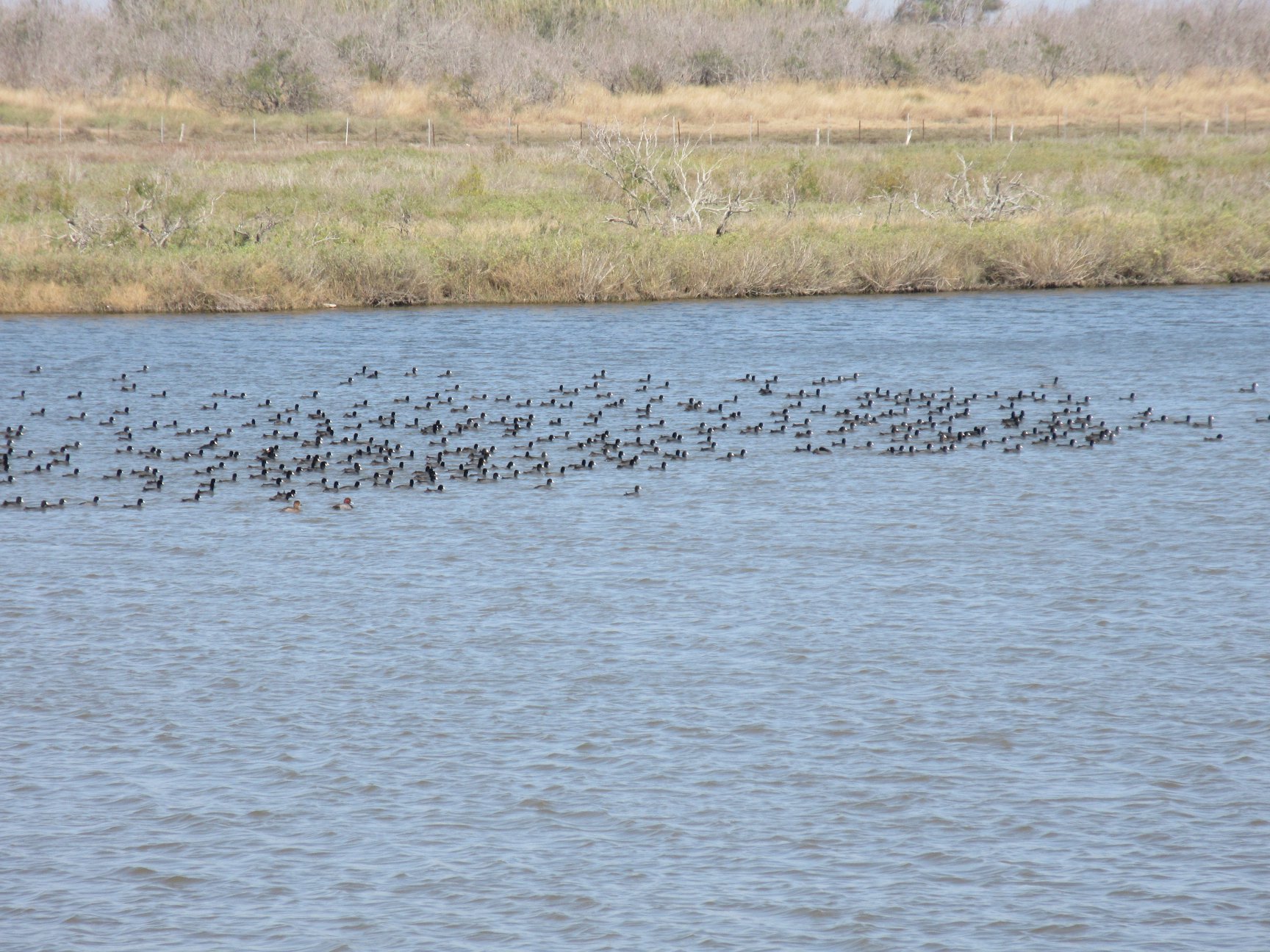
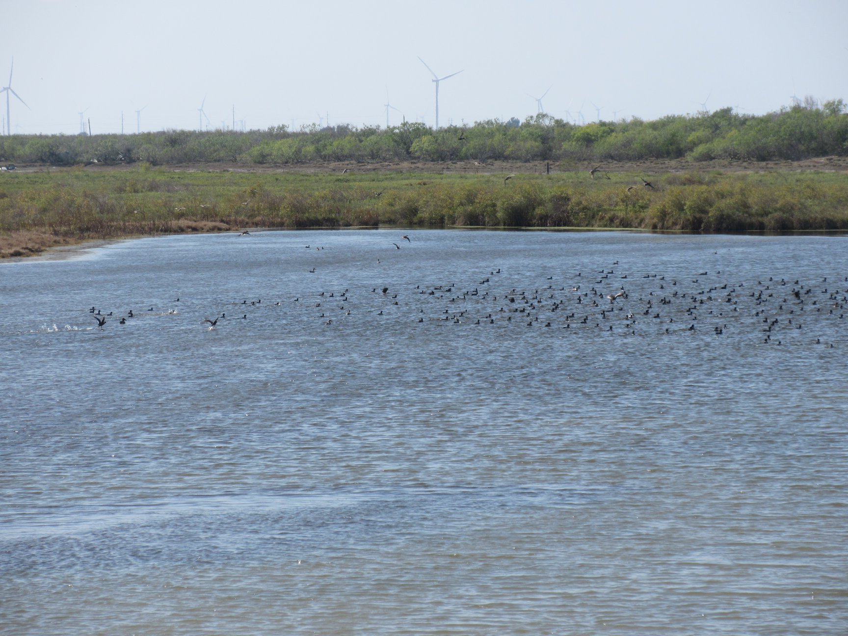
As the waters head to Copano Bay, they flow under the 188 bridge just west of 361. Two photos below were taken from the bridge, one looking south, the other looking north.

The GCGV Project – Zoom In
The GCGV Project – Zoom Out
As the waters head to Copano Bay, they flow under the 188 bridge just west of 361. Two photos were taken from the bridge, one looking south, the other looking north.